| Slovakia Genealogy Research Strategies | ||||||
| Home | Strategy | Place Names | Churches | Census | History | Culture |
| TOOLBOX | Contents | Settlements | Maps | FHL Resources | Military | Correspondence |
| Library | Search | Dukla Pass | ||||
Smolnik (Zemplen Szomolnak, Ujszomolnok)
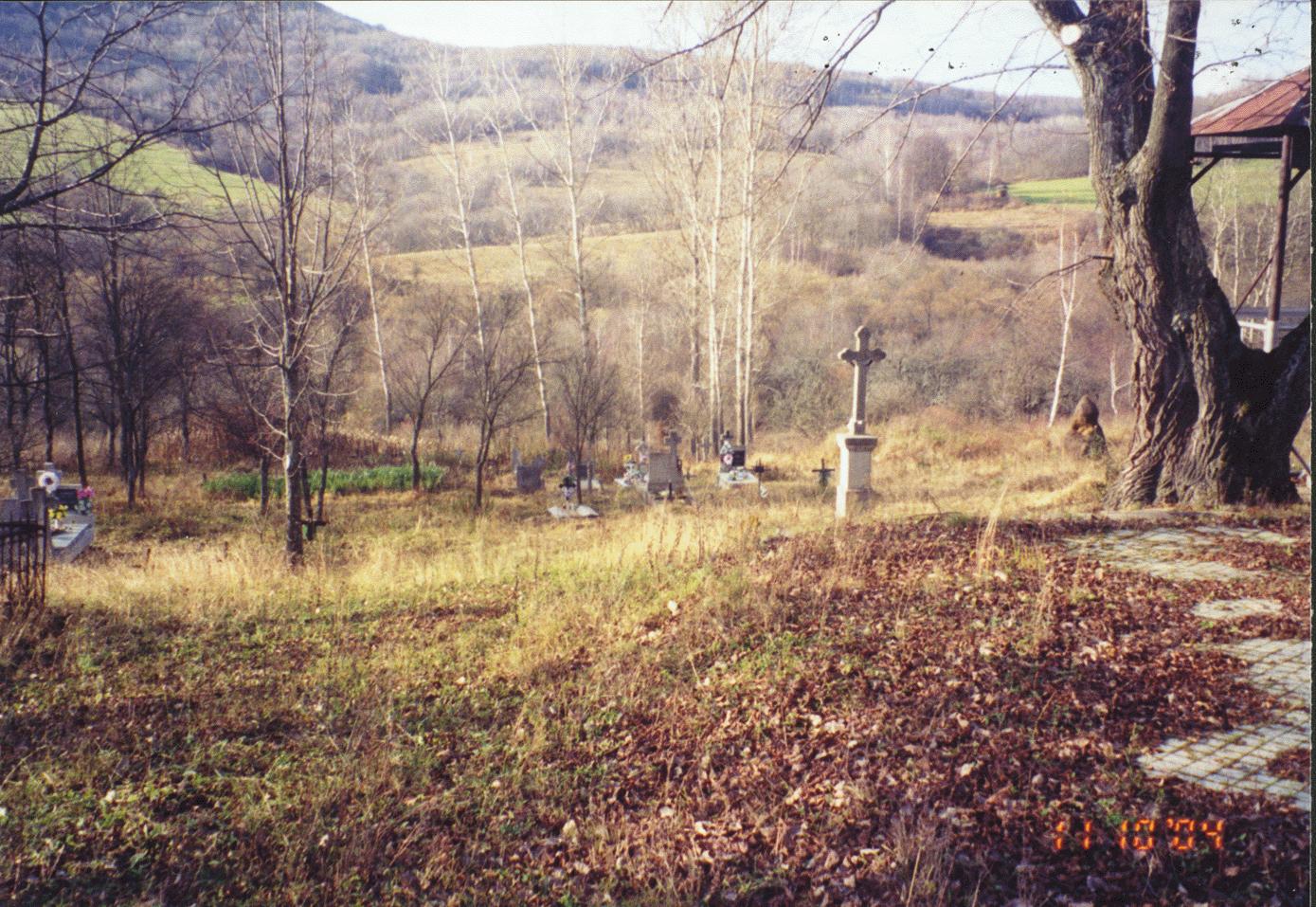
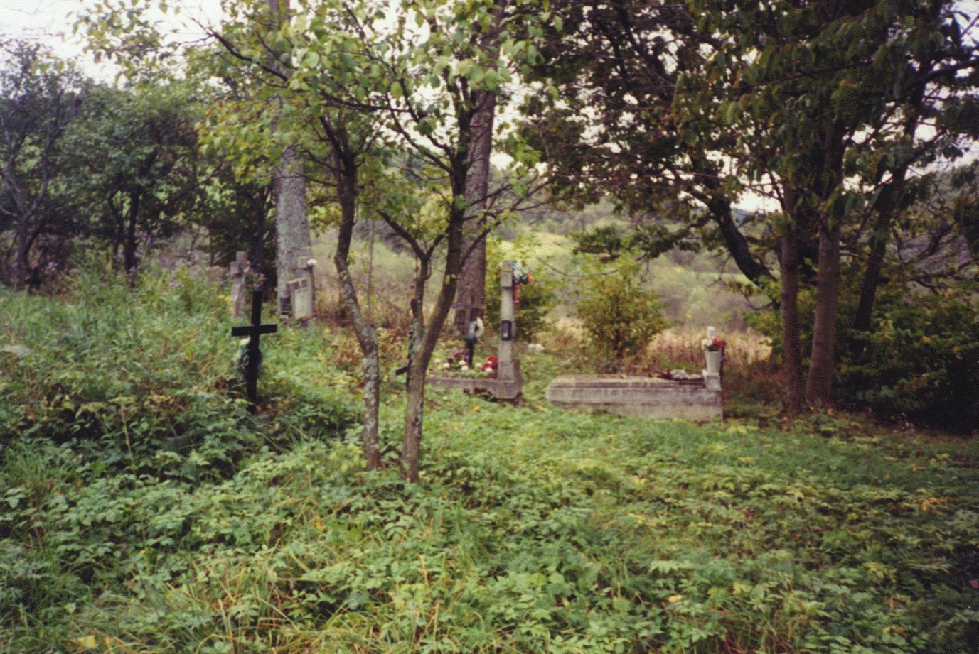
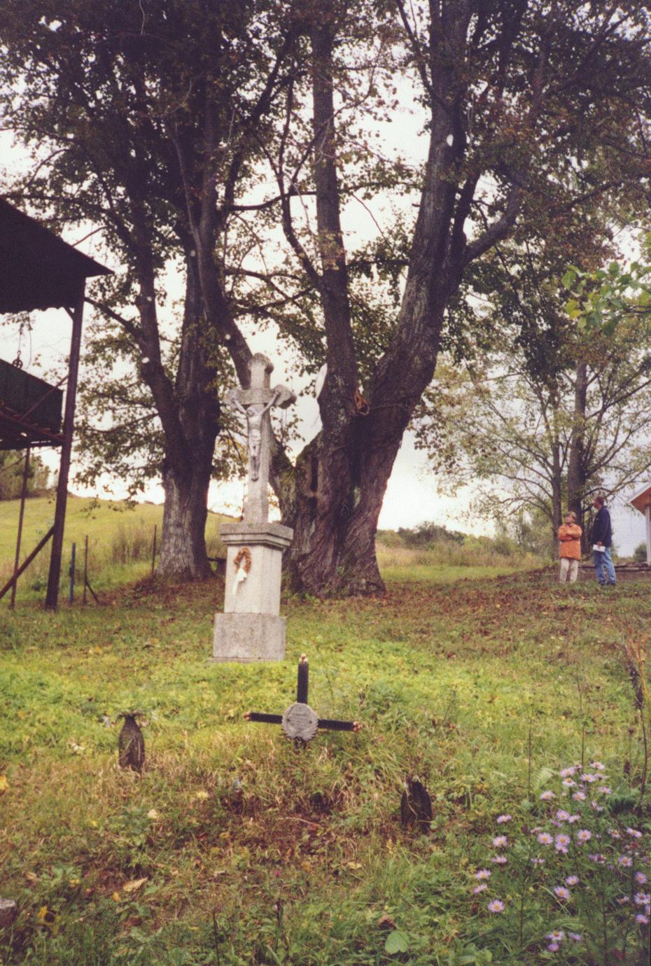
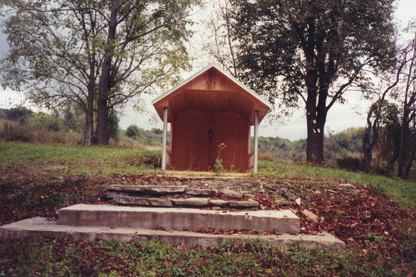
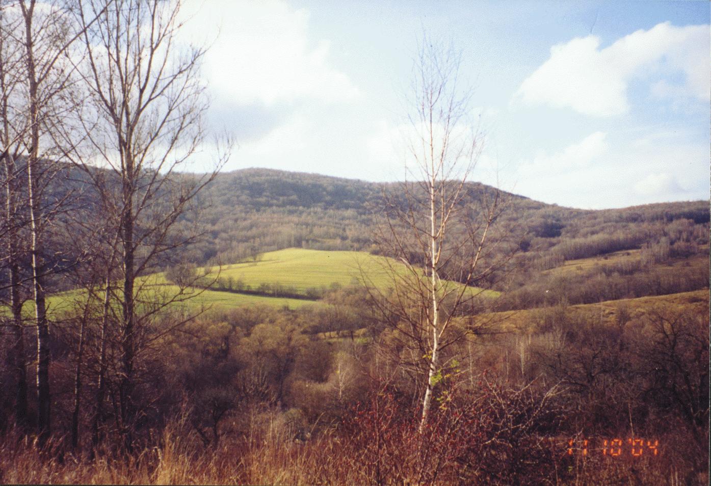
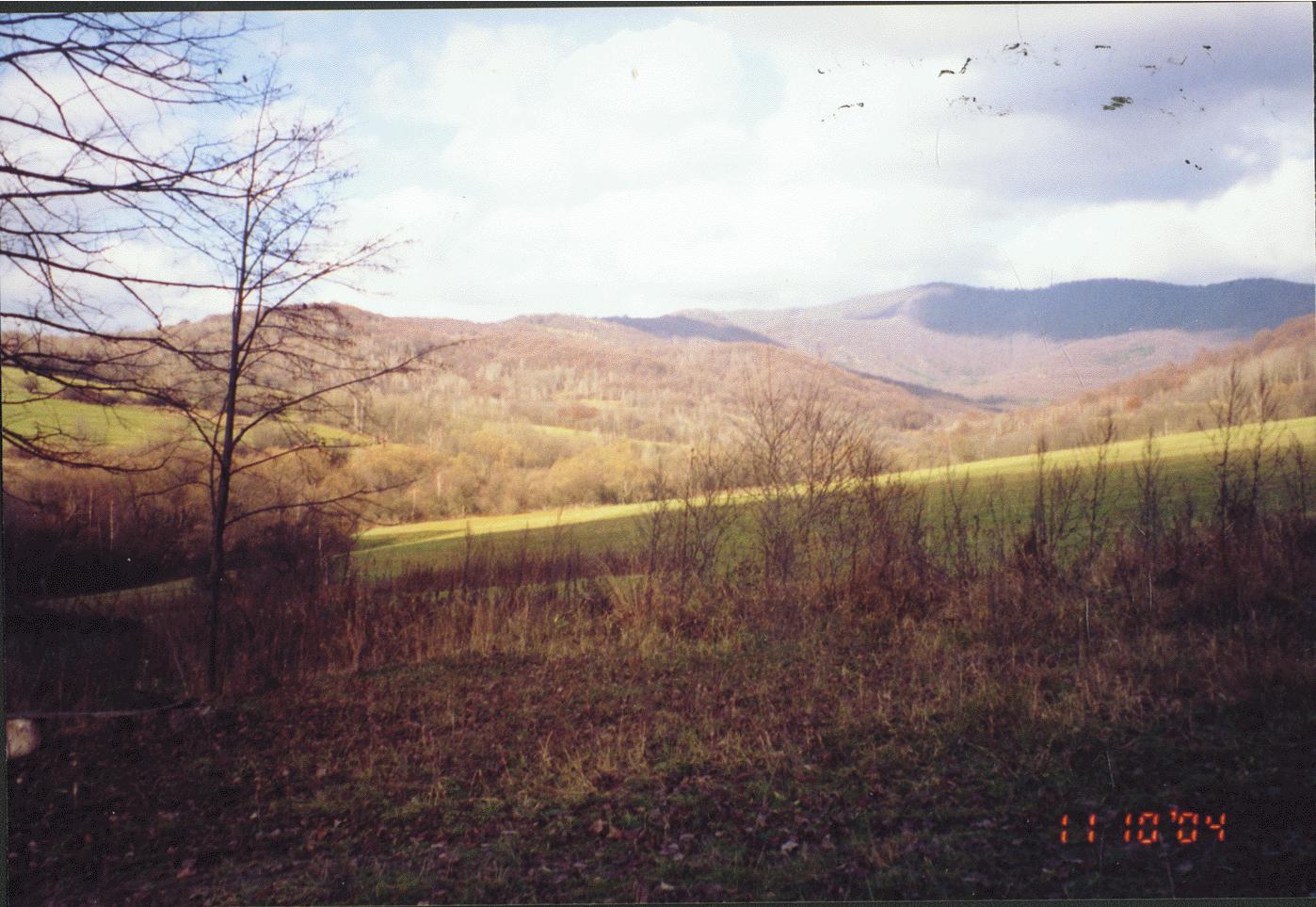
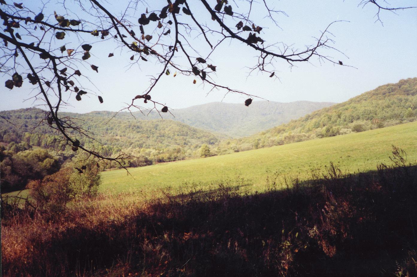
Village was evacuated in 1980 as it was in the watershed area for the construction of the Starina Reservoir. Only the church appears to remain.
|
Village Information |
Village Links |
Regional |
|
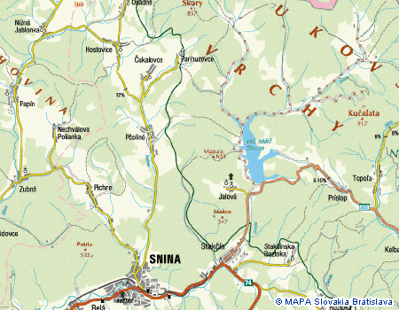
1997 Topographical Map |
Online Historical Book: Below Snina Rock (1964) |
|
| Starina Reservoir | ||
|
Reference in Wooden Church book from Folk Museum of Ukrainian Culture at Svidnik |
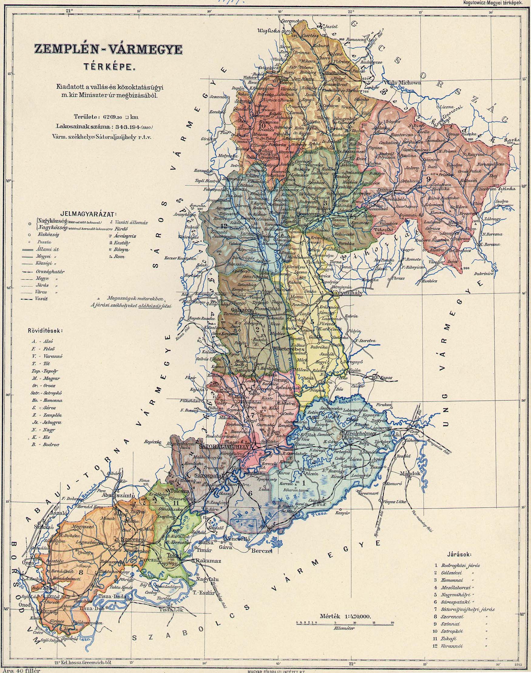
1914 Zemplin County Map (714KB) |
|
| Photos by Kurbanick, 2009 (Future upload) |
1925 Topo Map (1.4MB) |
|
Highlights
| Earliest Record | 1568 |
| Population | 1869-276, 1900-337, 1930-397, 1940-445, 1948-404, 1970-353 |
| 1914 Population | 9 German, 343 Rusyn; 366 Greek Catholic, 8 Jews |
| Village Names | Zemplen Szomolnak, Ujszomolnok |
| Owners | Originally in the Humenne Estate, later to the noble family Okolicsány. In the 19th century it belonged to the Lonyay noble family. |
History
-
The village contained 1447 hectares of land.
-
The Greek Catholic church, baroque-class was built in 1819. It is no longer present.
-
The village was first mentioned in 1568, as a possession of the feudal dominion of Humenné.
-
In the 1914 fighting, 15 villagers were killed.
-
In 1939 it became a territory of Hungary.
-
It is reported by Gloria Kurbanick that the church and cemetery and much of the village was laid waste by German-Russian fighting in fall of 1944.
Source: Vlastivedný Slovník Obcí na Slovensku Bratislava 1977
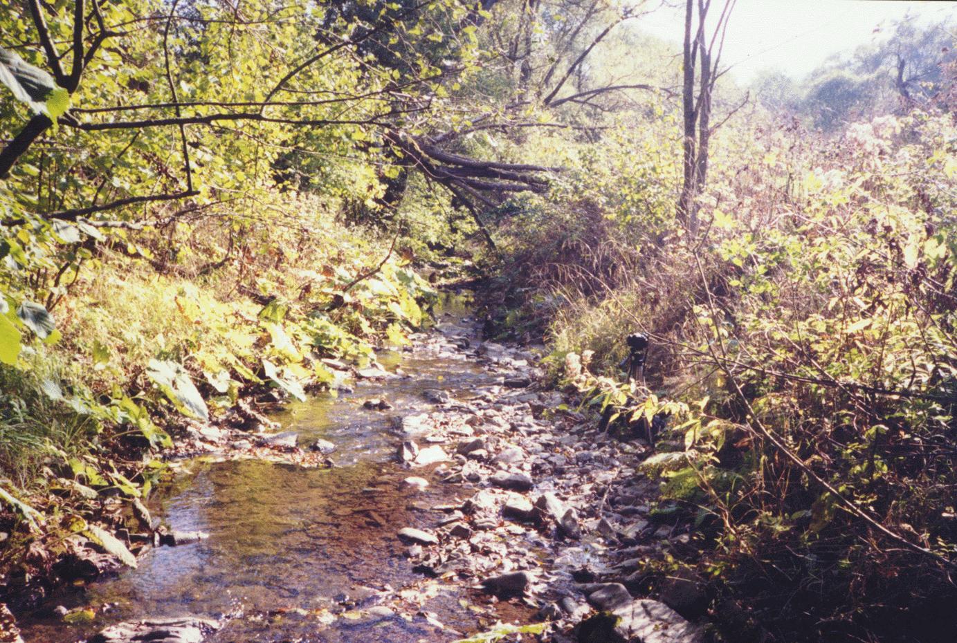
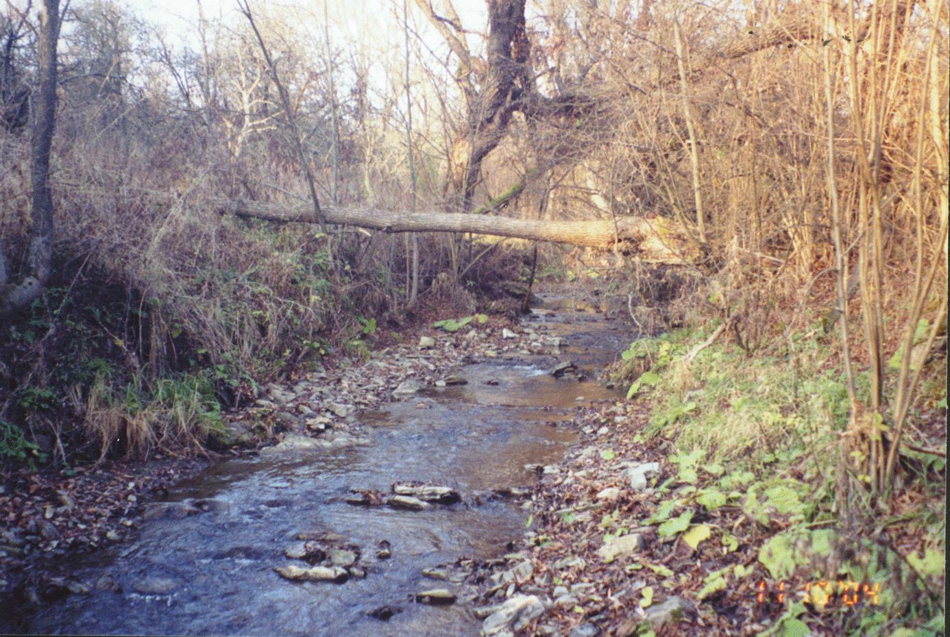
"The cemetery is still there and the foundation of the G-C Church. There is a covering over the altar area and the do have a reunion there every June with Mass and picnic. The community well is still functional and the roads are very passable. I have spent hours in and around Smolnik, wandering up the creek and sitting by the cemetery and Church area. The former mayor has a hunting cabin there" - John Onda
1568 Zmolnyk, 1734 Szmolnik, 1773 Smolnik. The village always belonged to Humenné town. In 1715 a mill was built here. Source: Roberto Cannoni, Italy
Resource:
"Horna Cirocha" Vlastivedna monografia zatopovej oblasti. Jan Podolak, 1985.
This village is now a part of the Poloniny National Park.
Photos
|
|
|
|
|
|
|
|
|
|
Rusyns - Lost Homes - A picture essay of the land of the seven villages cleared to make way for the Starina Reservoir. 2006
Surnames
Surname (Researcher)
VONDA, HRICKO (John Onda, 2006)
Links to off-site webs will open in a new window. Please disable your pop-up stopper.
Last Update: 15 November 2020 Copyright © 2003-2021, Bill Tarkulich