![]()


White Mountain National Forest
2017 Volunteer Opportunities
03 November 2017
These opportunities cover all districts
URGENT NEED FOR VOLUNTEERS TO ASSESS FOREST DAMAGE
Dear Partner, Volunteer, or Trail Enthusiast:
You’re receiving this email because you are a trail partner, volunteer, or trail enthusiast on the White Mountain National Forest, and the Forest needs your help!
Have you been on or intend to be on any White Mountain trails this weekend? If so, we need your help assessing any damage that occurred as a result of the recent storm event. This information will be vital to our ability to secure funds for repairs. Forest crews are hard at work assessing road and trail conditions across the Forest. Unfortunately, we simply do not have enough of our workforce on to complete the rapid assessments ourselves. That’s where you come in.
We are grateful at just how many of you have expressed an interest in helping survey the damage. The attached forms are the best way for us to receive information from you. There are two options:
Paper:
For you old school pen and paper types. Be sure to send these forms and pictures to your respective trail manager or forest contact. Download the form.
Digital:
Requires a smart phone. Attached with instructions. This is the preferred way as it updates to a web map automatically. No need to send these assessments to the trail managers. See the current digital assessments http://tinyurl.com/usfs-assessment
We are thankful for your help. We couldn’t do this without you. As always, remember to play it safe: no trail assessment is worth getting hurt over. Water is likely to be high and travel may be slow and difficult.
-------------------------------------------------
ArcGIS Survey123 App Instructions:
This digital form requires a smart phone.
This app or web browser form is a duplicate of the paper form. You can download the app from the google play or iTunes app store for free. You can also use it in your internet browser without downloading the app(link below).
Some benefits include:
• No dealing with GPS units besides your phone
• No waiting for partners or volunteers to mail/email their survey sheets to the Forest and no risk of losing sheets
• Real time results back at the office
• You don’t need the app, it can be used in a browser. If you do want the app, it is FREE
• Can be deployed quickly
Tips:
• If you’re using the browser from, you’ll need to open it somewhere before you lose cell signal or it won’t work
• You can use the app version with or without signal
• Bring a paper form or two in case your digital form does not work in the field
• Fill out the form as completely as possible and includes pictures!
----
Get the App:
The QR code is here:

If you don’t have a QR code reader you can use a browser:
Damage Reporting App
http://tinyurl.com/usfs-damage-app
For technical help:
Andy Welsh
andrewwelsh@fs.fed.us
603 536 6245
Message from John Marunowski, USFS, November 3, 2017. excerpted:
The priority for checking for damage should be as follows:
1. known “hot spots” for storm damage
2 high use hiking trails
3 AT
4 moderate and low use trails.
I would suggest teaming up with other volunteers through email or our volunteer Facebook group page.
I was out in the field most of the week and conditions are a bit rough out there. Expect high water crossings and downed trees. Keep in mind, THE GOAL IS NOT TO CLEAR TRAILS; IT IS TO ASSESS THE EXISTING DAMAGE.. We want to keep everyone safe out there, travel time will be slow in some places. Remember your 10 essentials and more – extra socks, gaiters, warm drink, etc. Thank you so much for what you do.
Opportunity Flyer Info How to Volunteer
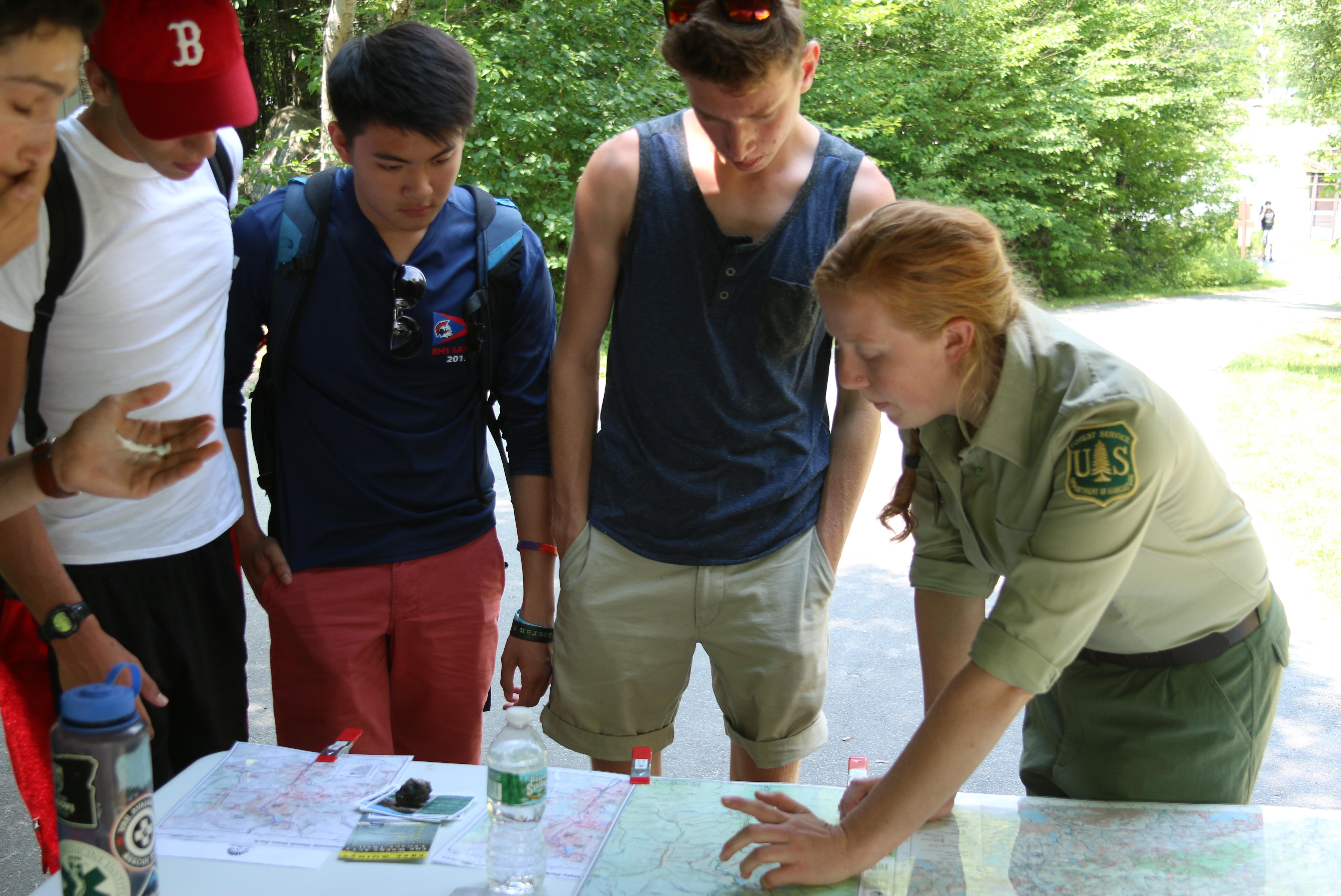
Trailhead Steward 2017 signup and training are complete. Please consider another WMNF opportunity
Back Country Patrol 2017 signup and training are complete. Please consider another WMNF opportunity
Trail Adopter See contact on Flyer (While training is complete, help out another adopter anytime!)
Visitor Information Services Campton & Lincoln Signup
Historical Site Interpreters Signup
Front Country Patrol See Contact on Flyer
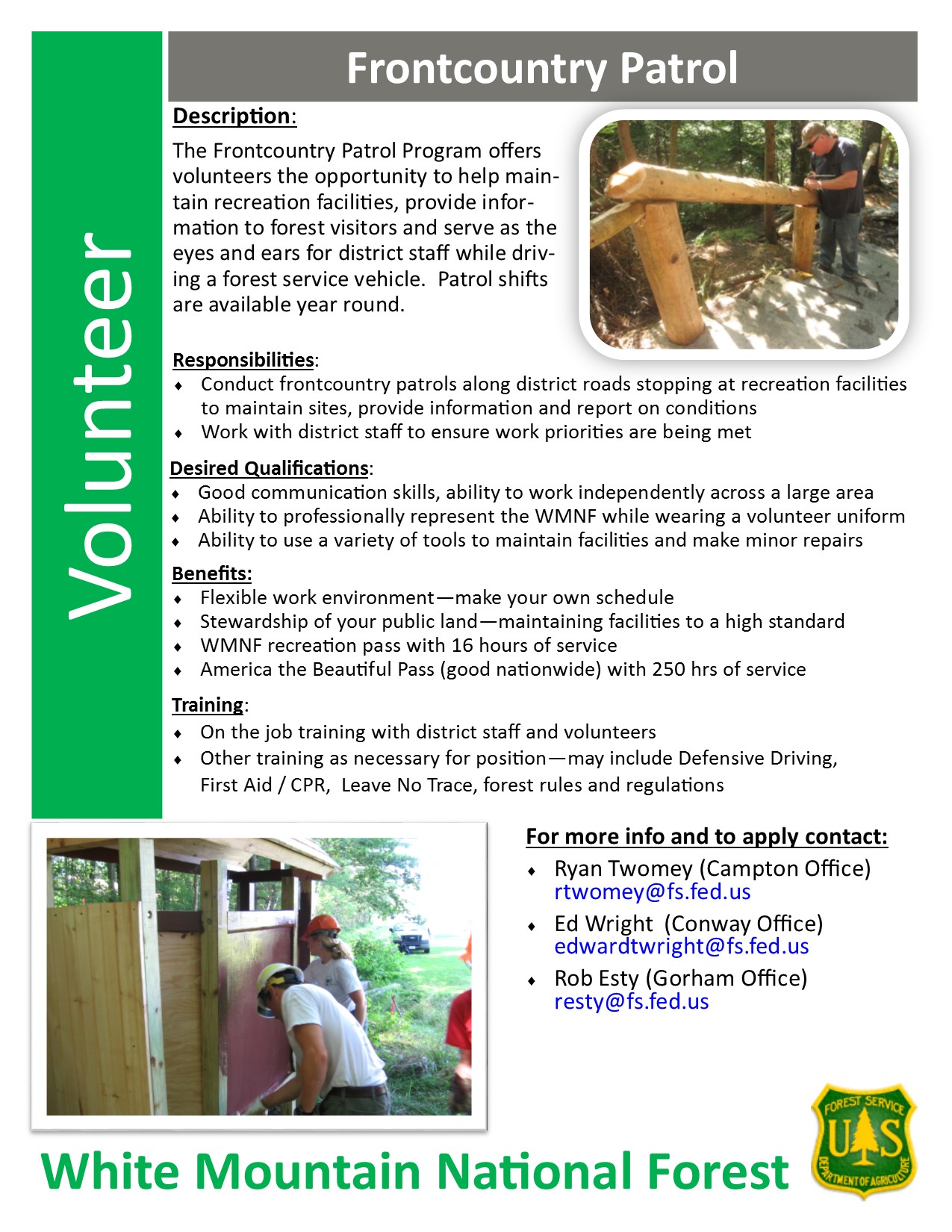
Wood Shop / Trail Sign Construction See Contact on Flyer
Adopt a Shelter or Tent Site Use Front Country Patrol Flyer contacts
Fish, Wildlife and Plant Assistant NEW 4/17 Maintaining wildlife openings (See Bill Tarkulich)
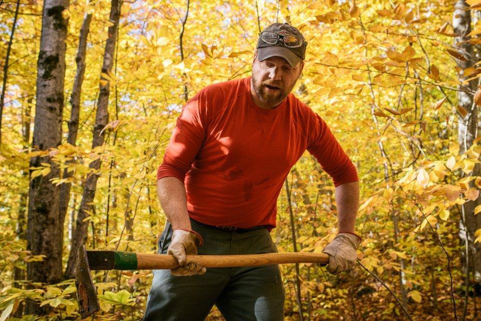
Facilities Maintenance John Marunowski
More! Volunteer opportunities posted on the official WMNF web page
Video Overview - Plymouth, March 28, 2017
Many partners including the AMC, RMC and local organizations provide valuable contributions, conducting trail maintenance and construction as well as other activities. That said, the number of volunteer needs continues to increase as Forest Service staffing continues to be reduced. Please consider a day, a few days or more to give back for all the days we spend enjoying the WMNF. Thank you!
Calendar
March
March 12 - Volunteer Opportunities in the White Mountains, NH AMC Paddlers meeting
March 28 - Volunteer Opportunities in the White Mountains, Conway Public Library, 15 Greenwood Avenue, Conway, NH 6:00 pm
March 28 - Volunteer Opportunities in the White Mountains, Pearson Public Library, 1 Russell Street Plymouth, NH 6:00 pm
April
April 8 - Trailhead Steward and Patrol Training (mandatory), WMNF Headquarters, Campton NH, pre-registration required Signup
April 15 - Trailhead Steward and Patrol program begins for Self-Supporting Stewards*
May
May 20 - Trailhead Steward and Patrol programs begins for all stewards < COMING NEXT
May 20 - Trail Adopter Training, Pemi Districts (mandatory)* < COMING NEXT
May 20 - Trail Adopter Training, Saco Districts (mandatory)*
May 13 - Volunteer Campground tour and improvement team meeting (See Bill Tar kulich)
June
June 3 - Trail Adopter Training, Pemi Districts (mandatory)*
June 4 - Trail Adopter Training, Saco Districts (mandatory)*
June 10 National Get Outdoors Day (fee-free day)
July
Late-July Forest-wide Potluck/Barbeque
October
October 30 - Trailhead Stewards and Patrol programs end
Year-round Volunteer Activities
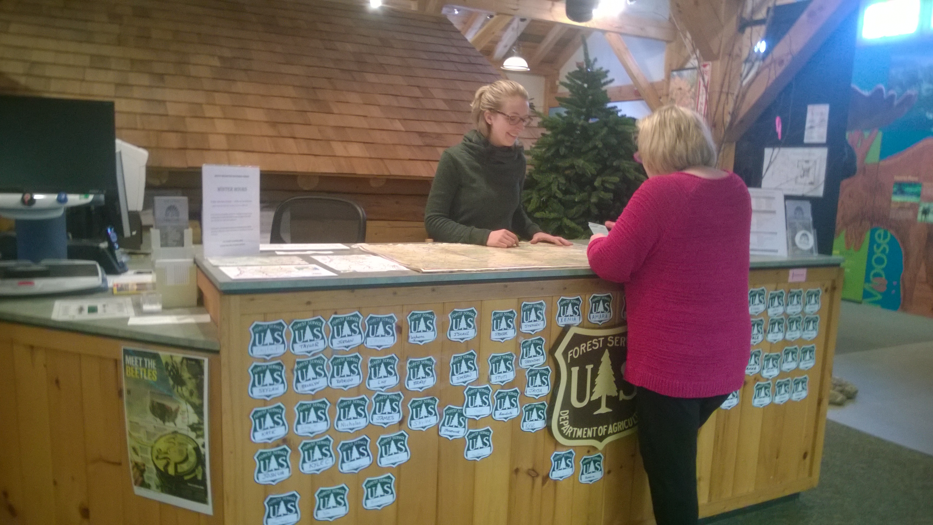
Visitor Information Services
Wood Shop
Front Country Patrol
2018
WMNF 100 Year Anniversary
* - Trail Adopters need only to attend one day. All day sessions are identical in content. You must register at least 7 days in advance.
* - Self-supporting stewards are volunteers who no longer need mentoring and are comfortable staffing a trailhead solo.
Way Cool News Media Coverage!
"At White Mountain trailheads, volunteers work to save lives", Concord Monitor, April 7, 2017 (pdf)
"Six ways to volunteer in the White Mountains', Concord Monitor, April 8, 2017 (pdf)
Central NH Chamber of Commerce Article Reprint, March 2017 (pdf)
NH F&G 2017 Mt. Madison Search and Rescue, North Woods Law, Season 8, Episode 2 video clip (mp4)
TRAIL ADOPTERS
Adopt-a-Trail Manual (2001 version)
Trails, Tent sites and Shelters needing adoption - as of April 9, 2017
ORPHANED TRAILS
PEMIGIWASSET DISTRICT (Campton)
The following is the list of orphaned Trails in the WMNF Pemigewasset District as of 4/14/17. Contact Bruce Richards, bruce4trails@gmail.com.
Trail/Mileage
Carr Mt – Warren Side 2.9
Cherry Mt. Jeep (East side) 3.5
East Side 5.1 Jewell – Above Jewell Spur 2.6
Lincoln Brook (from OH) 3.5
Lincoln Brook (to OH) 3.4
Lincoln Woods 3.0
Lincoln Woods Interpretive 0.3
North Twin 4.3
Old Skidder Trail 0.8
Pine Flats 0.8
Skookumchuck 4.3
Tunnel Brook 4.1
Westside 0.9
ANDRO DISTRICT (Gorham) ORPHAN TRAILS
The following is the list of orphaned Trails in the WMNF Androscoggin District as of 3/16/17 Contact Helon Hoffer, hhoffer@fs.fed.us
Albany Mountain (south) Trail
Bickford Brook Trail
Bunnell Notch Trail
Devil’s Hopyard
Gulfside Trail
Hayes Copp XC
Landing Camp Trail
Ledge Trail
Miles Notch Trail
North Carter Trail
Pine Mountain Trail
Rattle River Trail
Shelburne Trail
Spruce Hill Trail
Town Line Brook Trail
Unknown Pond Trail
Wheeler Brook Trail
York Pond Trail
S
ATTITASH TRAIL-Table to Diana’s
BASIN TRAIL
BRUNEL TRAIL
COLD BROOK TRAIL-above Evergreen Link
DRY RIVER TRAIL-above Mt Clinton jct
GUINEA POND TRAIL-Sandwich side to height of land
HANCOCK NOTCH TRAIL-Sawyer side to height of land
LIVERMORE TRAIL-Kancamangus side to height of land
MCCRILLIS TRAIL
MOAT MOUNTAIN TRAIL
MOUNT CLINTON TRAIL
PINE BEND BROOK TRAIL
RAINBOW TRAIL
ROCKY BRANCH TRAIL-Shelter #- to Rt 16
SQUARE LEDGE BRANCH TRAIL
WILD RIVER TRAIL-Bog Brook to Perkin’s Notch
WINNIWETA FALLS TRAIL
ORPHANED SHELTERS AND TENT SITES
ANDROSCOGGIN (Gorham) ORPHAN SHELTER AND TENT SITES
PEMIGEWASSET (Campton) ORPHAN SHELTER AND TENT SITES
Contact John Marunowski, jmarunowski@fs.fed.us
Three Ponds Shelter
Coppermine Shelter
Franconia Brook Tentsite (Caretaker Opportunity)
SACO (Conway) ORPHAN SHELTER AND TENT SITES
Contact Dylan Alden, dalden@fs.fed.us
Camp Penacook Shelter--- 3.1 miles from the trailhead on Piper Trail
Dry River Shelter #3-6.3 miles from the trailhead on the Dry River Trail
Flat Mountain Pond Shelter-4.8 miles from trailhead from the Bennet Street Trailhead
Kearsarge Fire Tower- 3.1 miles from trailhead on the N. Kearsarge Trail
Langdon Shelter- 2.9 miles from the trailhead on the Mt Langdon Trail
Liberty Cabin- 3.3 miles from the trailhead on Liberty Trail
Mountain Pond Shelter- 1 mile in from trailhead on Mountain Pond trail (summer only)
Province Pond Shelter-1.6 miles in from trailhead on Province Pond Trail
Rocky Branch Shelter #1-2 miles in from trailhead on Rocky Branch Trail from Jericho Road
South Baldface Shelter-2.3 miles in on the Baldface Circle Trail (south side of loop trail)
Sawyer Pond Shelter -1.5 miles from Sawyer River Road Trailhead
FREQUENTLY ACCESSED SITES
THS Google Groups (restricted)
WMNF Volunteers FB (closed)
How to Signup
| |  |
For More information

The Green Team 2017
bill@tarkulich.com, 781 799 2930